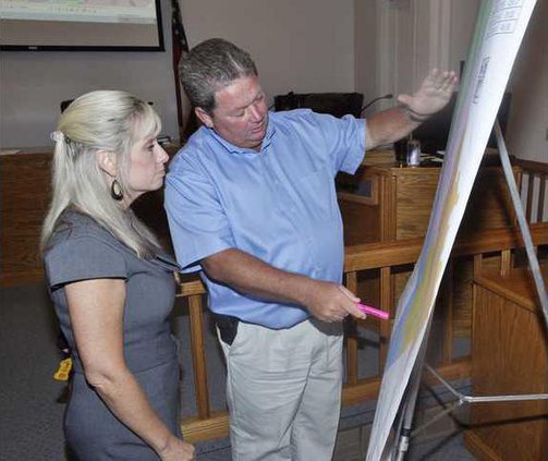
One of the most direct impacts of last year’s Census is already in the hands of county commissioners.
Commissioners worked on a draft of new district lines Tuesday and soon will forward their new map to the state Capitol for review.
Under the current commissioners maps, the populations in the districts vary widely. For instance, District 3’s population under the 2010 Census is 7,796. District 4’s is 12,846 and District 5 has a population of 11,992.
“There was a lot of population growth in districts 4 and 5,” said county GIS director Kresha Aycock.
In the old map, even houses were split by district lines, said county clerk Patrice Crawley.
“Our goal was to make sure we didn’t split anybody,” she said. “We didn’t want to create imaginary lines.”
With the county’s population at 52,250 from the 2010 Census, that put the average district population at 10,450. County staff tried to keep the population’s within 10 percent of that figure.
“We wanted to create equities in population,” county attorney Eric Gotwalt said.
With the Census numbers, that meant districts 4 and 5 had to shrink and District 3, the largest in area of the five districts, will grow even more. County staff prepared three different versions of new district maps and in each one, District 3 was at or more than 50 percent of the county’s 485 square miles.
“My concern is District 3 is going to be 260 square miles,” said Steve Mason, the 3rd District commissioner. “I’d like to see this balanced a little better.”
He also suggested that the lines be drawn to give each commissioner more of a cross section of the county’s population.
“What I’m trying to avoid is the north-south disparity,” Mason added. “What I hear is ‘because of all the development on the south is why my taxes are so high.’”
District 1 Commissioner Bob Brantley said his constituents tell him a different thing.
“They think that District 1 is a step-child,” he said.
Though Highway 119 also bisects small portions of Districts 3 and 4, it cuts District 2 the most.
“I represent people on both sides of 119,” she said. “They do not want to be overtaxed. They want to be treated fairly.”
Mason also offered that the commissioners had a chance to draw new district lines to avoid representing a special interest group.
Other commissioners disagreed.
“I don’t see how a district has a special interest group,” Jones said, with Brantley and 4th District Commissioner Reggie Loper concurring. “I’ll represent whoever I get drawn to represent.”
Jones, whose 2nd District is undergoing the most radical change in shape, noted the travails in traveling her district, especially during election season. The 2nd District currently stretches from north of Griffin Lakes down past Sand Hill Elementary and as far south as the Chatham-Effingham county line, not far from Highway 30.
“On a positive side, I represented a wide range of people who had a wide range of interests,” she said.
Under the proposed map, District 2 will be bounded on the north by Low Ground Road. District 4, which stretches from the Savannah River to Midland Road and Highway 17, is largely unchanged and District 5, will be bounded largely by Highway 21 and Ebenezer Road. District 1 will be bounded by Midland Road to the northeast but is being drawn to encompass Marlow and go as far north as Pineora.
“There is not going to be a perfect answer,” Jones said. “I have a concern for the existing voters if tear the whole map up. My district is already going to change the most.”
Gotwalt also cautioned that the Justice Department may look at the polling places and how accessible they are in a district. They may not agree to a map where voters in a district have to cross into another district to get to their polling place.
Commissioners also were urged to clean up the district lines.
“There is a difference in the needs and the concerns of the people who live in a rural area and as to those who live in a very densely populated area,” Ruth Lee said.
Under the proposed map, District 1 would be the most populous district, with 11,097 people. District 2 would have the least amount of people, with 9,613 people. District 3 would be closest to the average, with 10,562.
Commissioners also wrangled with how many district lines should cut through a city. County Administrator David Crawley suggested that if one city was going to be split among two commission districts, the commissioners should try to ensure all three cities had at least two commissioners. Currently, Rincon and Springfield are each split between two county commission districts, but Guyton is only in one district.
“That may be a better way to work our problems out when you have two commissioners instead of one representing a city,” Brantley said.
Mose Mock, the school board’s 3rd District member, said it was sometimes hard for people to know who their representative was. School board lines mirror those of county commission districts.
“On the flip side, it can get a little confusing,” Mock said. “It’s not all negative to have one representative for a city.”
The new district map will be presented to state lawmakers on July 18 and there will be public hearings July 21 and 22. County commissioners will vote on the map July 26 for their final approval.